The Summit Ridge
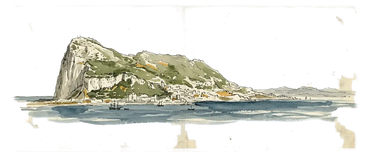
The high south end: Africa in front of you, both seas at once, and the 426 m top.
- On foot
- 2 h
- Distance
- 2.9 km
- Effort
- Moderate · steps
- Stops
- 8
Works with no signal
4 MBabout a minute on 4G
Before you set off
Two litres each in summer. The only water inside the reserve is at St Michael's Cabin, and it is not on every walk.
The gates shut at 19:00 in summer and 18:00 in winter, and no path is lit. Work backwards from closing time.
Feeding a macaque is illegal and carries fines up to £4,000. Keep food out of sight and bags closed.
- 1Cable Car Top Station
- 2Signal Hill
- 6St Michael's Cave
The shape of it
41 m up, 246 m down
The walk
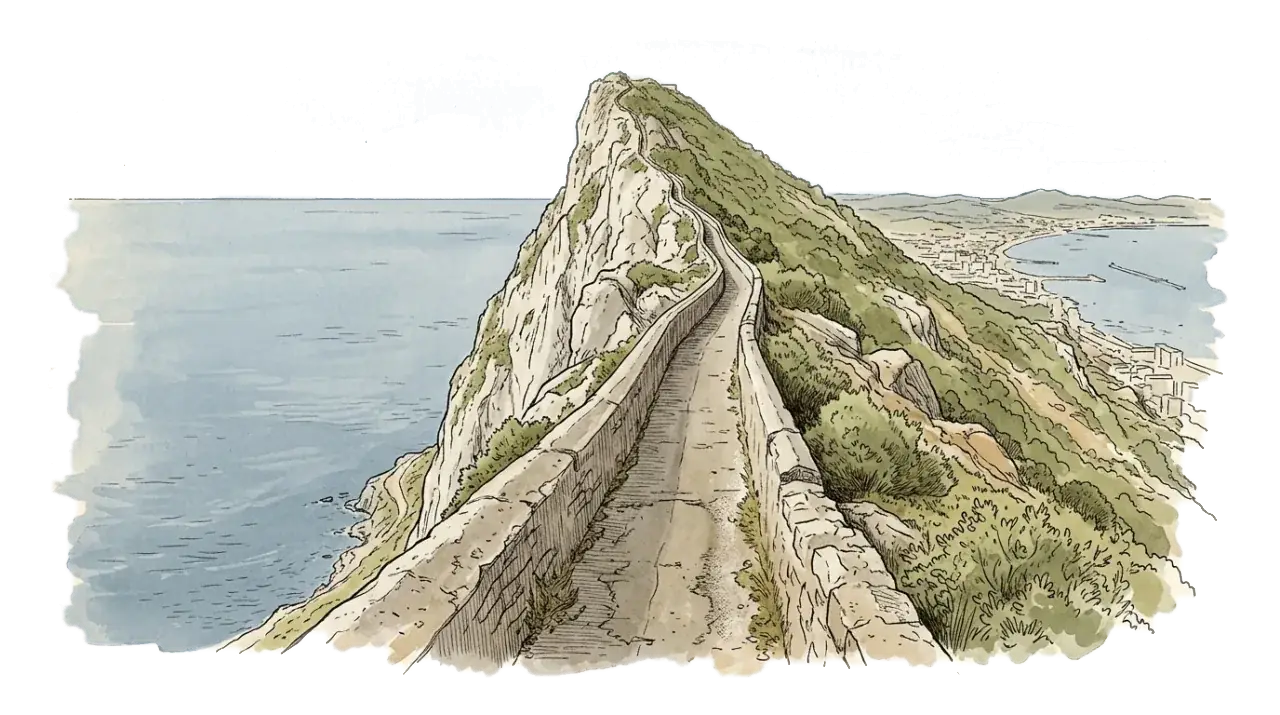
The southern fork, and the one you walk for the view. From the Top Station the ridge runs south over Signal Hill and Douglas Path to the highest ground in Gibraltar at 426 metres, then drops off the back to St Michael's Cave and down to Jews' Gate. 2.9 km and mostly downhill, about two hours with the cave. Two honest warnings. Douglas Path has a cliff on one side and no railing, and this whole ridge is where the Levanter cloud sits: when the Rock is wearing a cap of cloud, visibility here can go from kilometres to metres in a few minutes. Do not start it in that. It ends at Jews' Gate, where the walk to Europa Point begins.
What you will actually see
eight stops. The six with drawings are worth stopping properly for. The rest are a minute of narration and a reason to look up.
 1
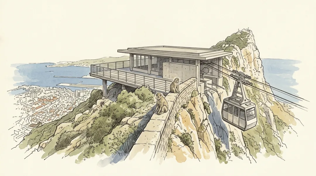
1Cable Car Top Station
385 m approx.
Africa is fourteen kilometres away and visible; the macaques behind you can open a rucksack in four seconds. Both are true on the same terrace.
- 2
Signal Hill / Signal Station
387 m · can be skipped
Two centuries of watching the Strait and reporting every ship by flag, before there was any other way.
- 3
Douglas Path (south end)
400 m approx.
Where the Rock makes its own cloud, above a fossil sand dune stranded on the east face.
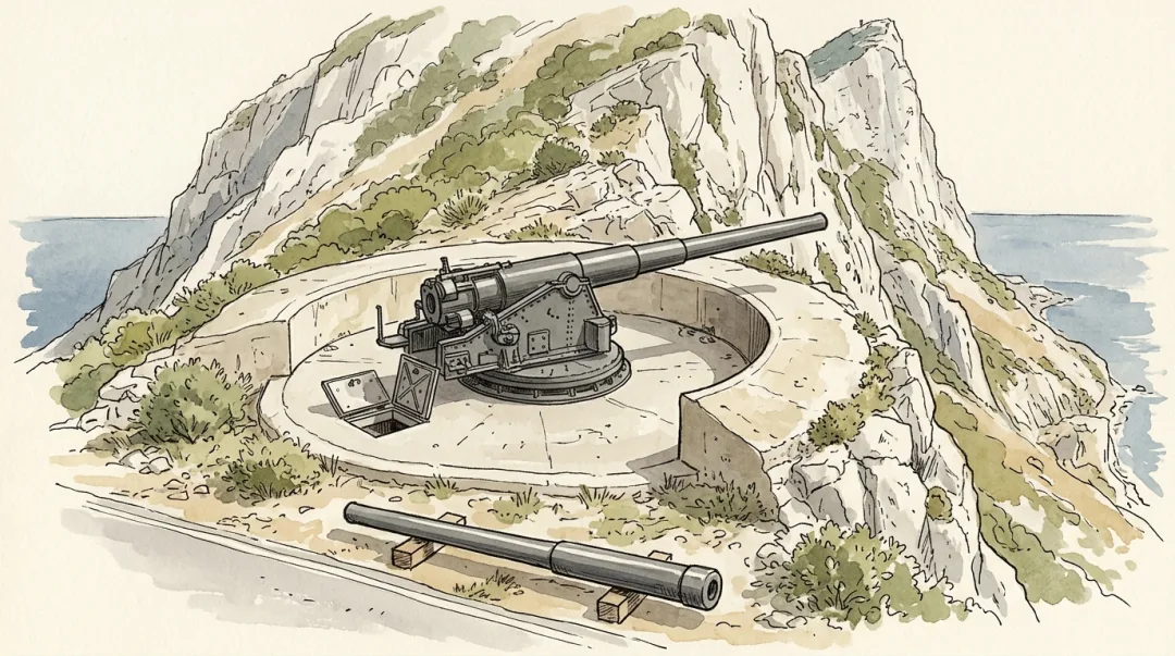 4
4Lord Airey's Battery
400 m
Where the Mediterranean Steps let you out, at 400 metres, with a sea on either side of you.
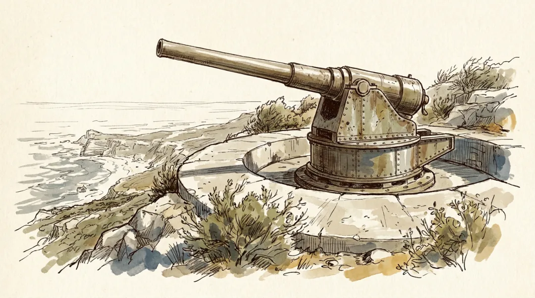 5
5O'Hara's Battery
426 m
The highest ground in Gibraltar, where a governor built a tower to watch a fleet he could never see.
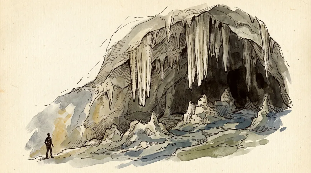 6
6St Michael's Cave + Cabin
300 m approx.
The largest of more than a hundred caves in the Rock, with fossils sitting in the walls exactly where they died 200 million years ago.
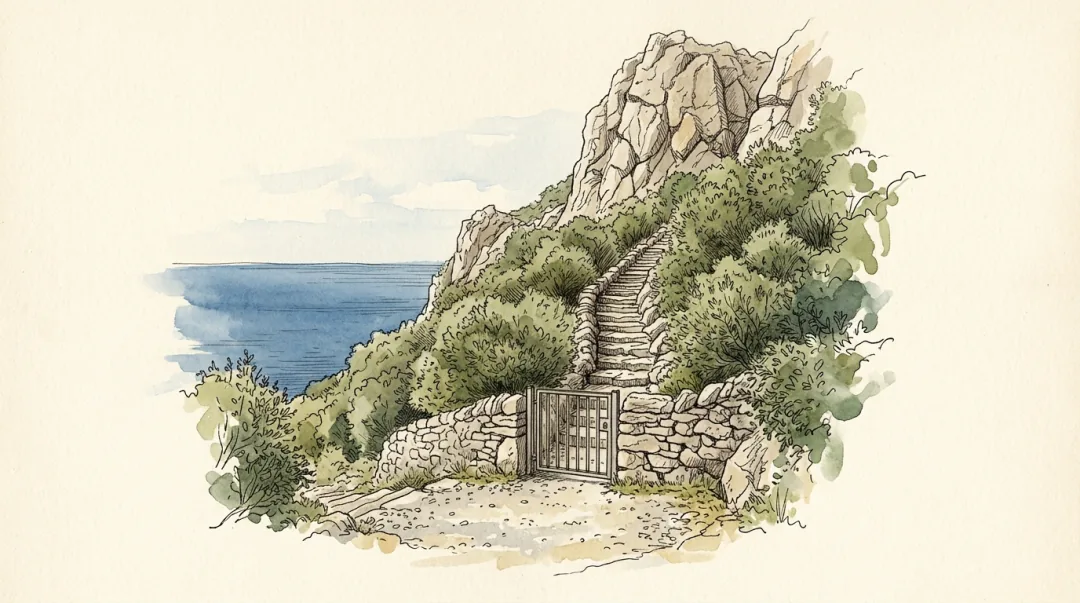 7
7Mediterranean Steps Trailhead
185 m approx.
The hardest walk in Gibraltar starts here, and the rule is that you only ever go up it.
 8
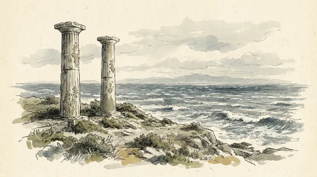
8Jews' Gate / Pillars of Hercules
180 m
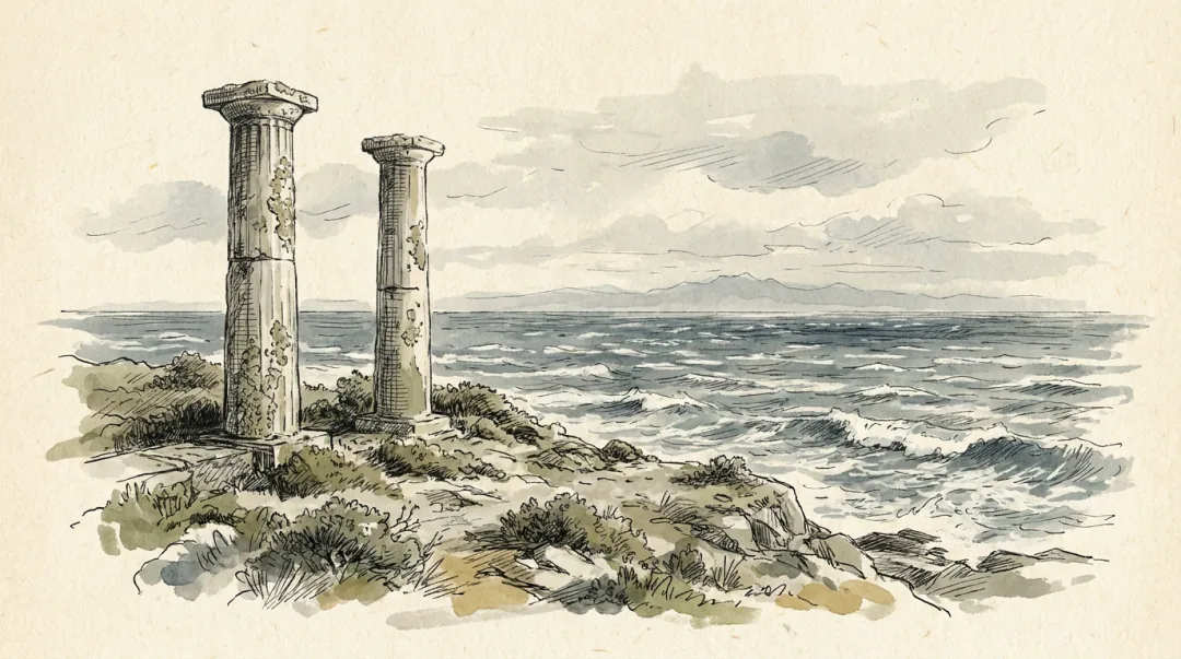
The edge of the classical world, above the gap the Atlantic came back through in what may be the largest flood in the planet's history.


Where it leaves you
This walk finishes at Jews' Gate / Pillars of Hercules.
You can carry straight on from there: